Geographic analytics, visualization, and insights
Leveraging the power of spatial analytics and current webmapping techniques to, above all, drive the narrative our clients want.
Services
Spatial data analytics
Our expertise lies in data analytics in the spatial domain: satellite remote sensing data analysis, cluster and hotspot mapping, and geographic regression, coupled with a full suite of webmapping capabilities to highlight your spatial data products.
Webmapping
Clearly and accurately portray your data with interactive web mapping, providing valuable insights and helping you make informed decisions. We work to make your data accessible for your business and comprehensible to the public.
Geodatabase Construction and Management
We will efficiently organize and manage your geospatial data without expert services. From design to maintenance, we will clean, integrate, and quality check all data for reliable analysis and decision making.
Satellite Data Acquisition and Processing
Get a bird's-eye view of your data with our satellite data acquisition and processing services. From environmental monitoring to mapping, our expertise in remote sensing and geospatial analysis provides valuable insights from above.
Training
Just need some direction? We offer training on ArcGIS Pro suite tools, ArcGIS Online, QGIS, and remote sensing software. We would be happy to set up a video conference or a on-site training program for your organization.
Projects
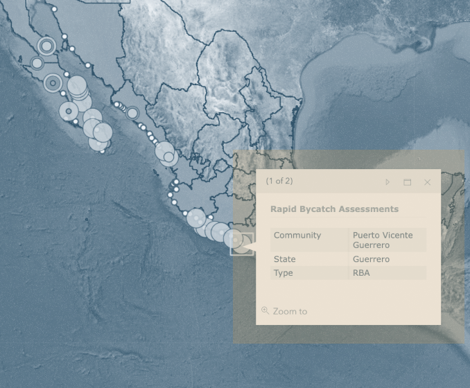
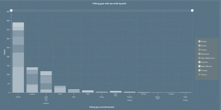
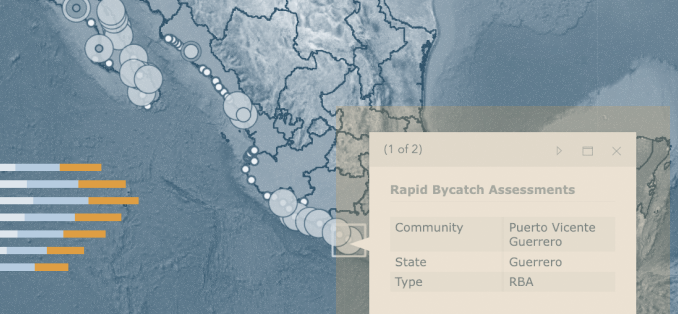
Mexican by-catch assessments
We work with on-the-ground teams across the country of Mexico to curate, update, and assess the sea turtle bycatch. This work is updated regularly on web servers to display accurate data and is part of international conservation efforts between the US and Mexico.
GO TO PROJECT WEBSITE
IUCN Sea Turtle Red List Assessments
Collecting data from global sources, we worked to integrate current habitats into the IUCN species distribution maps for the IUCN and deployed these maps world wide using webmapping in order to engage scientists across the globe.
READ THE PAPER
State-wide assessment of controlled and prescribed burn effects
Leveraging LiDAR and public burn records we assed the effectiveness of Florida prescribed burn policy and its effect on the endangered Red-Cockaded Woodpecker and Longleaf Pine.
Spatio-temporal neighborhood research
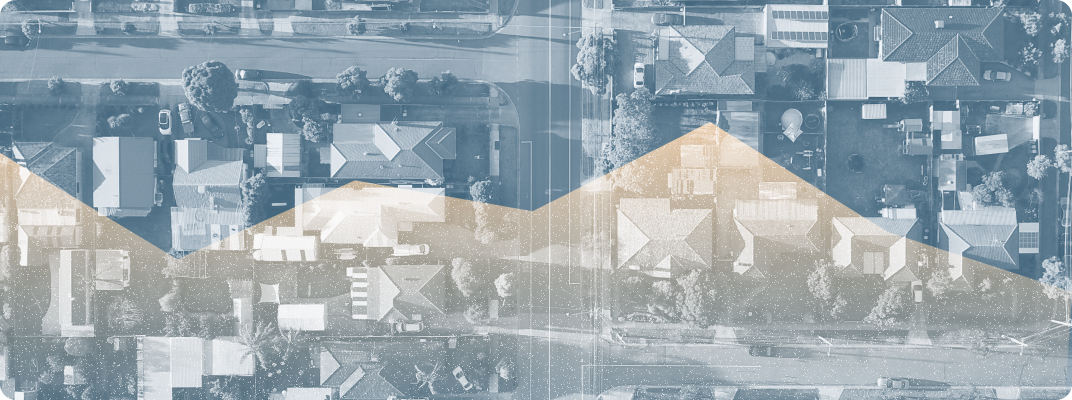
Research into the concept and definition of spatial neighborhoods involves an approach using autocorrelation (similarities in data values) across space and time to better understand spatial and temporal patterns in data.
As an example defining spatial neighborhoods of concentrations of seasonally adjusted unemployment data from 1990 - 2019, finding locations of concentrations of unemployment, among other patterns.
READ THE PAPER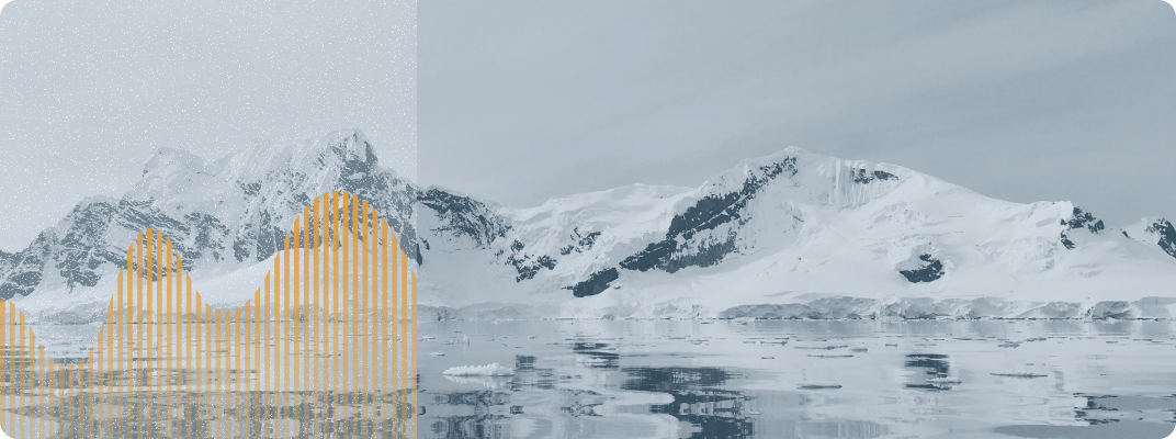
Geographic hotspot mapping of Arctic marine megafauna
The Chukchi and Beaufort seas are undergoing rapid climate change and increased human activity. Conservation efforts for upper trophic level predators such as seabirds and marine mammals require information on species’ distributions and identification of important marine areas.
We used Getis-Ord Gi* hotspot analysis to test for cells with higher relative abundance than expected when compared to all cells within the study area. We identified cells representing single species and taxonomic group hotspots, cells representing hotspots for multiple species, and cells representing hotspots for both seabirds and marine mammals.
READ THE PAPERAbout us

Brendan Hurley, PhD
Brendan's areas of research include spatial data science and statistical geography, and his research interests include spatial clustering of events, the underlying spatial theory behind them, and how those events affect decision-making.
Brendan’s research interests include spatial clustering of events, the underlying spatial theory behind them and how those events affect decision-making. He has published in a wide array of peer-reviewed journals, from PloS One to Marine Ecology Progress Series, and has accrued over 1200 citations to date.
Additionally, Brendan was a Science Fellow in the United States House of Representatives, and spent 15 years doing conservation and GIS work around the country. This included right whale conservation research in Woods Hole, Massachusetts; Hawaiian Monk seal field work in Hawaii; and aerial surveys in the Arctic Chukchi and Beaufort seas with the National Marine Mammal Lab in Seattle, where he suggested renaming the project “Marine and Coastal High Arctic Marine Mammal Ecological Research”—or the MC HAMMER project. Sadly, this was declined.
He currently lives in Fredericksburg, Virginia with his Rottweiler Bruce Wayne, who probably wants a walk right now. He holds a PhD in Earth Systems and Geoinformation Sciences from George Mason University in Fairfax, Virginia.
Skills

Zachary Posnik
Zach researchs pyric disturbance ecologies using mixed methods of remote sensing and spatial statistics. He currently is a researcher at the University of Oxford and teaches Landscape Ecology and Biogeography at The George Washington University.
Zach graduated with his Bachelors of Science in Geography and Geographic Information Systems from The George Washington University in 2020. He has worked in federal GIS consulting and spent time in Montana conducting field work for the Bureau of Land Management. Zach graduated with his Masters of Science in Biodiversity, Conservation and Managment from the University of Oxford, school of Geography and Environment.
Skills